 |
 |
|
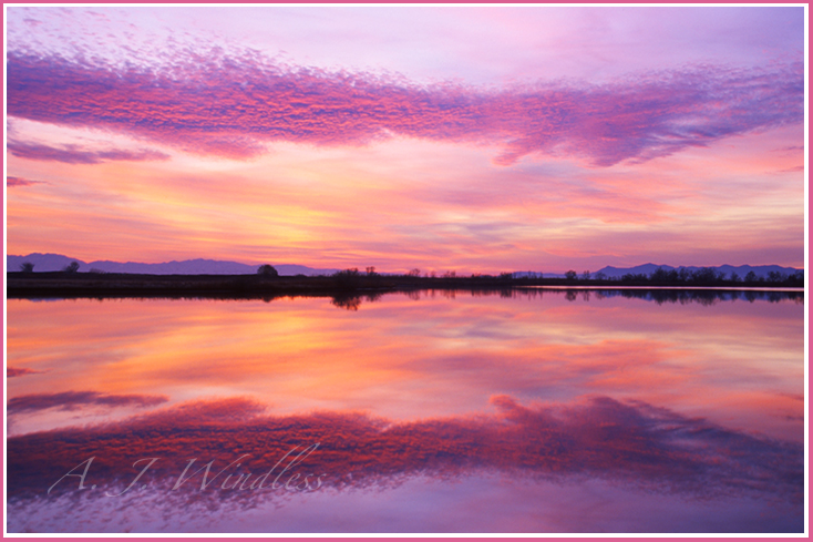
What Once Was January 14, 1998 Film: Fujichrome 50 |
|
With the Stansbury Mountains to the left and Antelope Island to
the right, what once was an island is now just another mountain
in the dry desert. In 1893 Utah restored a herd of bison to Antelope Island.
I guess they figured that was a safe place to keep them without posing a threat
to residents, or serious competition to the cattle industry. The latest drought has become so serious, however, that my friend
says buffalo are showing up on Interstate 80, walking freely off of Antelope
Island all the way to the highway as it runs south of the lake past Stansbury. Will the Great Salt Lake fall into the same fate as the Aral Sea in Ubekistan? In 1960 the Aral Sea was the fourth largest fresh water lake in the world. Water got diverted for agricultural purposes and the lake began shrinking. A satellite photo in 2021 shows that the only remains of the lake now are a couple of pitiful slivers along the northern edge. The Great Salt Lake does go through its cycles. I remember 30 years ago having a discussion with one of my colleagues, and even back then we agreed that Antelope Island wasn't an island at all, it was a penisula. We undoubtedly came to that conclusion during a dry cycle. But in 1987, at the peak of a wet cycle, lawmakers tried to pump a flooding lake out onto the Salt Flats to evaporate. (also see this amazing photo and story) The surface pictured above was one of the smaller, fresh water lakes near the perimeter of the Great Salt Lake. Even when this photo was taken you could not see the shores of The Great Salt Lake from this vantage point, but today as I create this web page (not having personally returned since the start of the Covid outbreak) I am led by others to believe there might not be any shoreline at all between Salt Lake City and Antelope Island. Google maps shows only a river between the two land masses, but the drought has been getting worse and Google maps is only updated every one to three years. See a third great photo and story (click here) |